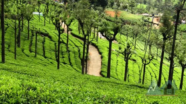


Altitude, slope & the actual view
Every listing carries its elevation, how steep the land is, which way it faces, and whether the valley view is open or blocked — computed from elevation data, not guessed.




भारत के पहाड़ी इलाकों में संपत्ति
पश्चिमी घाट, नीलगिरि और हिमालय की तलहटी में घर, प्लॉट, कॉफ़ी एस्टेट और चालू होमस्टे — हर एक की ऊँचाई, ढलान, पहुँच, वर्षा और ज़मीन के मालिकाना हक़ की जाँच के साथ।
पहाड़ी संपत्ति में वे बातें मायने रखती हैं जो शहर के फ़्लैट में कभी नहीं। हम उन्हें पेज पर रखते हैं।
Every listing carries its elevation, how steep the land is, which way it faces, and whether the valley view is open or blocked — computed from elevation data, not guessed.
Drive time to the nearest town, hospital and market. Last-mile road surface. A monsoon-accessibility flag for steep, unpaved approaches.
Month-by-month rainfall and temperature for each town — so the 3,500 mm a Wayanad monsoon brings is on the page before you visit.
A structured title checklist on every plot: land class, patta/khata, road rights, water, distance from reserve forest, and whether you can build.
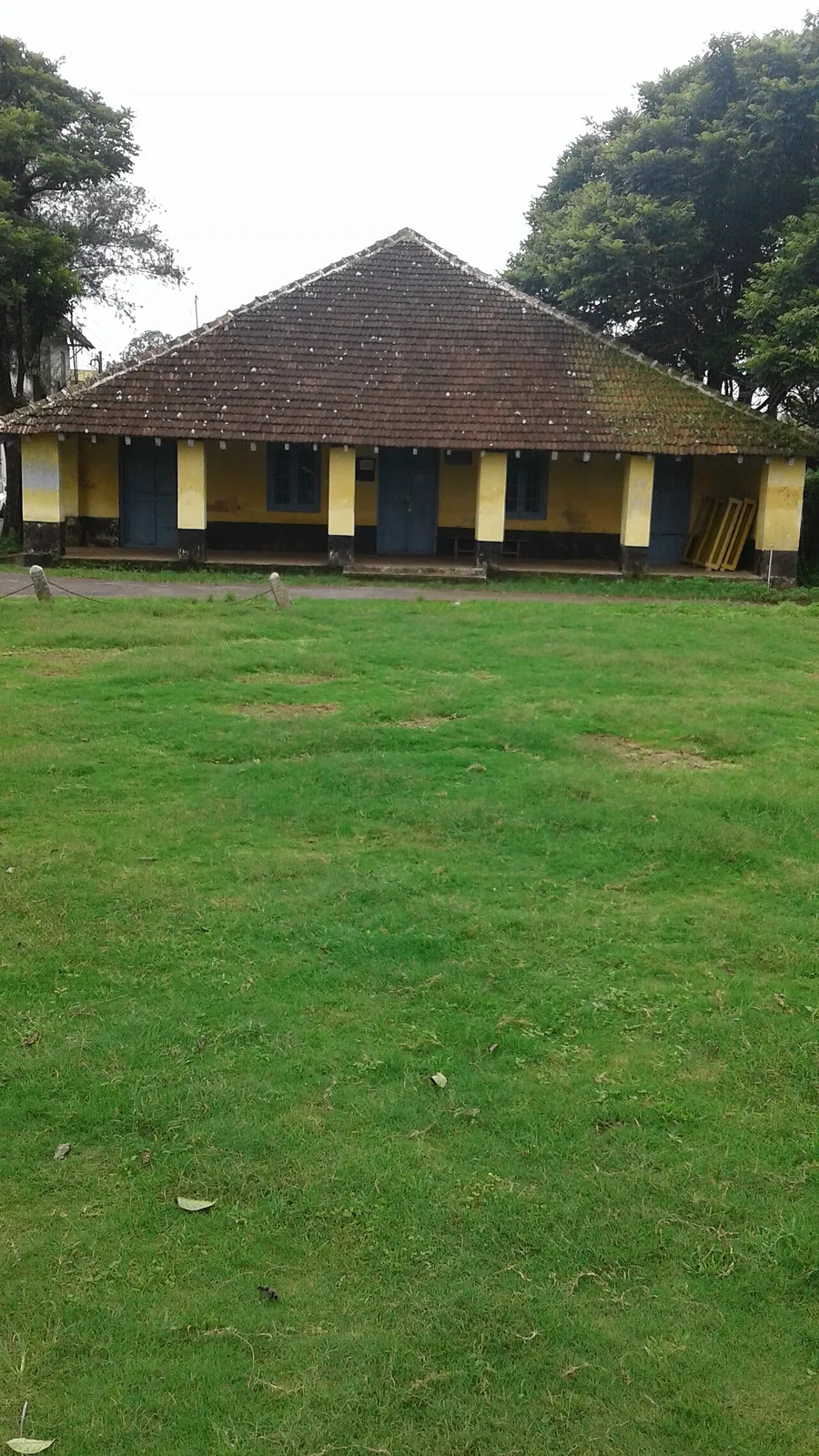
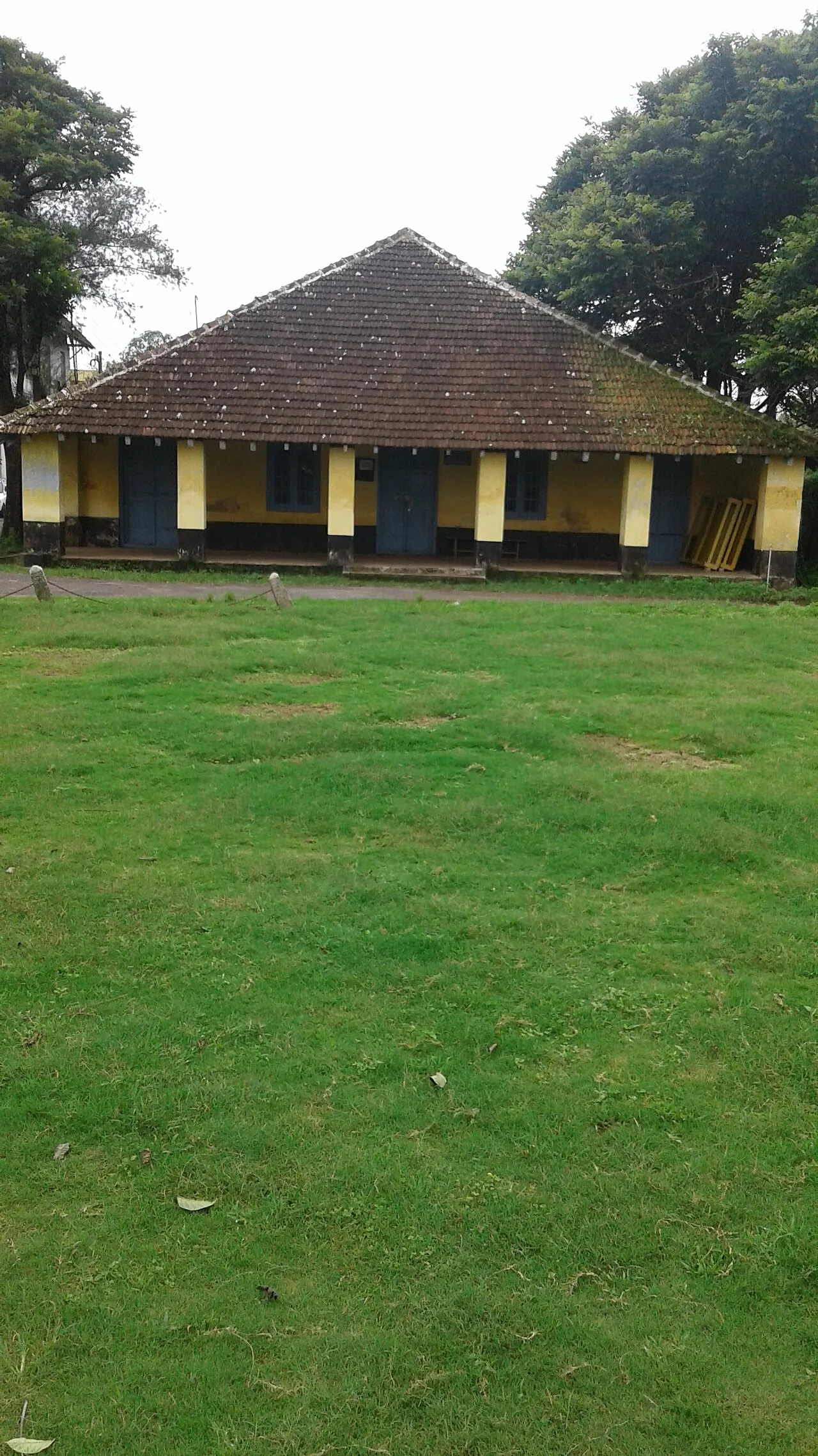
Madikeri pairs working coffee estates with a genuine hill-town centre — hospitals, schools and markets a short drive from most listings.
Madikeri →Filter by elevation, view, drive-time from town and land type — on a 3D terrain map, not just a list.
Terrain report, access reality-check, climate panel, fair-price band and a transparent trust score on every listing.
Enquiries go to a private thread — no number is sold to twenty brokers. Shortlist and compare with family.
उसे उन जानकारियों के साथ दर्ज करें जो खरीदार सचमुच चाहते हैं — और उन लोगों तक पहुँचें जो गंभीर हैं, सिर्फ़ फ़ोन नंबर जमा नहीं कर रहे।


