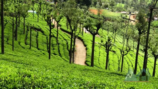


Altitude, slope & the actual view
Every listing carries its elevation, how steep the land is, which way it faces, and whether the valley view is open or blocked — computed from elevation data, not guessed.




Property in India's hill country
Homes, plots, coffee estates and running homestays across the Western Ghats, the Nilgiris and the Himalayan foothills — each one measured for altitude, slope, access, rainfall and land title.
Hill property fails on things a city flat never does. We put them on the page.
Every listing carries its elevation, how steep the land is, which way it faces, and whether the valley view is open or blocked — computed from elevation data, not guessed.
Drive time to the nearest town, hospital and market. Last-mile road surface. A monsoon-accessibility flag for steep, unpaved approaches.
Month-by-month rainfall and temperature for each town — so the 3,500 mm a Wayanad monsoon brings is on the page before you visit.
A structured title checklist on every plot: land class, patta/khata, road rights, water, distance from reserve forest, and whether you can build.
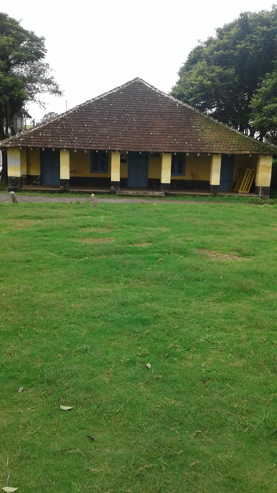
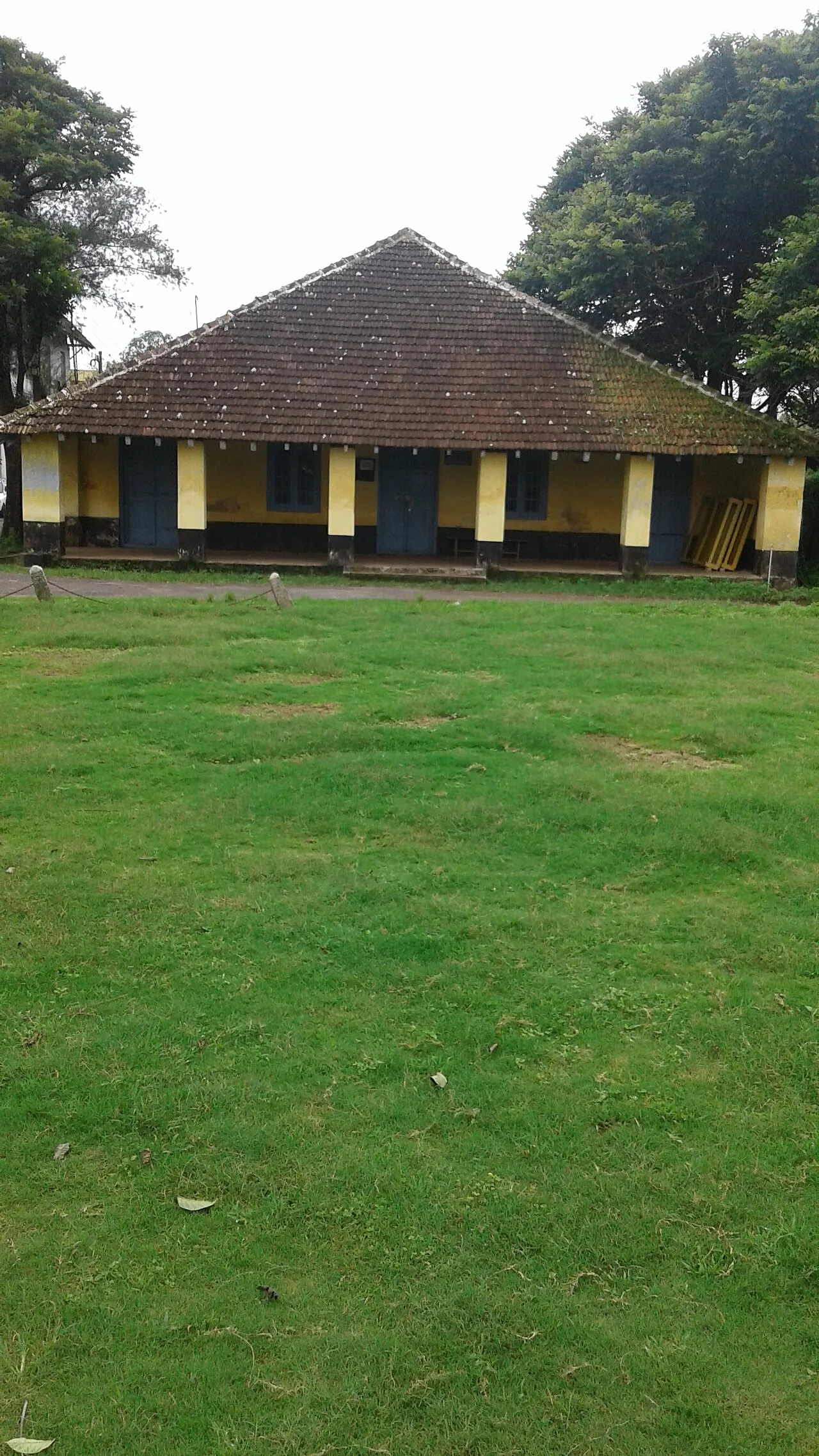
Madikeri pairs working coffee estates with a genuine hill-town centre — hospitals, schools and markets a short drive from most listings.
Madikeri →Filter by elevation, view, drive-time from town and land type — on a 3D terrain map, not just a list.
Terrain report, access reality-check, climate panel, fair-price band and a transparent trust score on every listing.
Enquiries go to a private thread — no number is sold to twenty brokers. Shortlist and compare with family.
List it with the detail buyers actually want — and reach people who are serious, not just collecting phone numbers.


